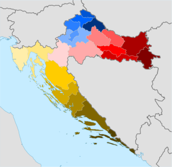
Administrative divisions of Croatia

The subdivisions of Croatia on the first level are the 20 counties (županija, pl.

Both of these types of subdivisions encompass one or multiple settlements (naselje, pl.

naselja) which are not public or legal entities, the Croatian Bureau of Statistics consider them as non-administrative units – human settlements, similar to the United States census designated places.

As parts of the cities or the (larger) municipalities they may form city districts (gradski kotari or gradske četvrti) or local committee areas (mjesni odbori).

Until 1963 all subdivisions were governed by the elected people's committees.

Map of present-day counties of Croatia Vukovar-Syrmia County Osijek-Baranja County Brod-Posavina County Požega-Slavonia County Virovitica-Podravina County Bjelovar-Bilogora County Koprivnica-Križevci County Međimurje County Varaždin County Krapina-Zagorje County Zagreb County City of Zagreb Sisak-Moslavina County Karlovac County Istria County Primorje-Gorski Kotar County Lika-Senj County Zadar County Šibenik-Knin County Split-Dalmatia County Dubrovnik-Neretva County
Counties of Croatia: Bjelovar-Bilogora Brod-Posavina Dubrovnik-Neretva Istria Karlovac Koprivnica-Križevci Krapina-Zagorje Lika-inline Osijek-Baranja Požega-Slavonia Primorje-Gorski Kotar Šibenik-Knin Sisak-Moslavina Split-Dalmatia Varaždin Virovitica-Podravina Vukovar-Syrmia Zadar City of Zagreb Zagreb County
Unions of municipalities (1986–1990)
Independent State of Croatia, counties:
1941–1943 (1st)
1943–1944 (2nd)
Oblasts of the Kingdom of Serbs, Croats and Slovenes
Counties in the Kingdom of Croatia-Slavonia
Map of approximate locations of early medieval counties of Croatia
Approximate positions of the first counties of 10th century Croatia , overlaid on a map of modern Croatia and Bosnia-Herzegovina