Albert I Land
[1] It is bordered by Haakon VII Land[2] to the southeast.
To the northeast lies Raudfjorden and its inner branch, Klinckowströmfjorden, to the southeast Krossfjorden and its inner branch, Lilliehöökfjorden, to the west and north the Arctic Ocean.
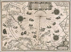
Albert I Land is part of Spitsbergen that was first observed by Willem Barentz in 1596.
Currently uninhabited, several geographical names stem from the history of whaling in the area during the 17th century.
The Hornemantoppen mountain is the highest peak in Albert I Land.