Arturo Montero
In 2009, he led the expedition that discovered the highest site in the world on the path of the terrestrial equator, he has published scientific articles and books that have earned him the recognition of the Encyclopedia "Wielka Encyklopedia Gór i Alpinizmu"[1] for his contribution to the mountaineering field.
Later, from a different educational perspective, he attended high school at the College of Sciences and Humanities of the UNAM, at this stage of his life, at age 17, he was discharged as a lifeguard in the ambulance and emergency service of the Mexican Red Cross.
Afterwards, he entered the bachelor's degree in archeology at the National School of Anthropology and History where he graduated in 1988 with the thesis Iztaccihuatl, arqueología en alta montaña,[3] with honorable mention.
In the year 2000, he continues with the master's degree in Mexican history at the Faculty of Philosophy and Letters of the UNAM where he attends the field of archeology in caves, with the thesis Las formaciones subterráneas naturales en la historia de México,[4] with mention honorific.
Currently, when a catastrophe occurs in the country, he is occasionally required by the Mexican Red Cross to carry out damage assessment and needs analysis during a disaster event.
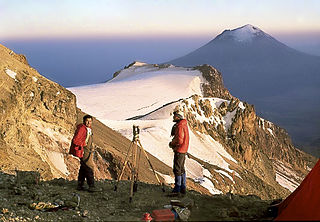
He has led expeditions to the main chasms and peaks of Mexico, the Amazon, the Andes, Polynesia, the Alps, Cuba, the Cascade Range, the Atacama Desert, and the Galapagos Islands.
In 2012, during the expedition to the Holtún cenote, archaeoastronomical observations were made on El Castillo, the main pyramid of Chichén Itzá, finding that it is oriented towards the zenith passage of the Sun, to serve as an astronomical marker with which the Mayans adjusted their calendar.
Dr. Arturo Montero's objective is to reach a wide public to share the scope of pre-Hispanic knowledge that surprised Europe and the world since the 16th century, and that currently attracts millions of tourists who are amazed when visiting the archaeological sites of Mexico.