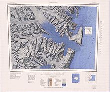
Borchgrevink Glacier
Named by US-ACAN for John G. Humphries, New Zealand ionospheric scientist at Hallett Station, 1957.
A glacier 6 nautical miles (11 km; 6.9 mi) long in the southwest part of Daniell Peninsula.
Named by US-ACAN for Michael W. Langevad, electronics technician at Hallett Station, 1957.
The glacier first appears on a 1960 New Zealand map compiled from United States Navy aerial photographs.
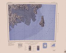
A deeply entrenched valley glacier that drains the east slopes of Malta Plateau and flows east along the south side of Clapp Ridge into the Borchgrevink Glacier, in the Victory Mountains, Victoria Land.
Named by US-ACAN for Kenneth Line, traverse engineer with the USARP glaciological party at Roosevelt Island, 1967-68.
Named by US-ACAN for Thomas R. Nelson, United States Navy, construction mechanic at McMurdo Station, 1967.
The name alludes to the converging flow of ice at this feature from different directions, and was given by New Zealand Antarctic Place-Names Committee (NZ-APC) in 1966.
It discharges into Glacier Strait, Ross Sea, just south of Cape Jones.
[1] This article incorporates public domain material from websites or documents of the United States Geological Survey.