Concession Street (Hamilton, Ontario)
Concession Street is an Upper City (mountain) arterial road in Hamilton, Ontario, Canada.
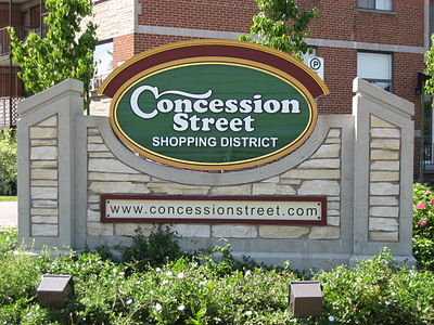
Concession Street had been a deer run, then a cow path, at last evolved into a stoned road and had a toll-gate placed on it.
All other roads on the mountain were left in a state of nature, where wagons sank to the hubs in the sticky mud for which Barton Township was famous.
[4] From the year 1910, (interrupted by the outbreak of World War I in 1914), a great building boom was enjoyed on the mountain area, when many farms were cut into lots and many streets opened.
The city's focus was now to grow south with the eastern boundary, at the time, now established at Red Hill Creek.
They also stated at the time that 'the mountain was lacking adequate garbage collection, water supply and a sewage system'.
The road was being considered because the grade would be much smaller per cent than the Jolley Cut and cars would be able to negotiate the journey from the bottom to the top with less difficulty.
The city limits in 1927 only extended as far as the sidewalk on the southside of Concession, and all of the roadways past that point would come under jurisdiction of the provincial highways department, which at the time, did not encourage competition between two bus companies when one gave adequate service.
In regards to the incline railways, the brochures go on to boast, "There is no finer view anywhere on the North American continent than the panorama to be seen from the Hamilton mountain.
In the background, flanked on the east by the famous Niagara Fruit District and on the west by the beautiful Dundas Valley and a range of hills, combine to make a picture no artist could paint.
It was estimated that year 2,000 people used the Wentworth mountain stairs on a daily basis between the hours of 6 in the morning and 6 pm.
Proponents of the incline argued that an elevator 'would take passengers and baby carriages to the top of Hamilton mountain and back' plus 'school children took the bus because they couldn't carry their bicycles up the steps'.
The reason attributed for its closure in 1936 was the falling off in the numbers using it, due to the depression, and the depreciation of its rolling stock.
Located on the brow of the Niagara Escarpment, the park offers visitors views of the lower city, Hamilton harbour, and the Dundas Valley.
[16] The shelter at Sam Lawrence Park was built in 1956 on the existing foundations of the old water tank that used to service this part of the mountain.
Charles Juravinski sold Flamboro Downs racetrack (Canada's fastest half-mile harness horse racing track)[17] in 2002 and chose to share the money with Hamilton city hospitals.