Vanch-Yakh Glacier
[1] The maximum thickness of the glacier is 1,000 metres (3,300 ft), and the volume of the glacier and its dozens of tributaries is estimated at 144 cubic kilometres (35 cu mi)—about a third of the volume of Lake Erie.
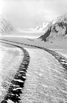
The glacier follows a generally northward path to the east of the 6,595-metre (21,637-foot) Garmo Peak.
Its waters eventually feed down the Muksu, Surkhob, Vakhsh, and Amu Darya rivers into the Aral Sea.
Between 1910 and 1913 the glacier expanded and moved forward by 800 to 1,000 metres (870 to 1,090 yd), blocking up the Balyandlik River the following year.
[2] In 2023, Tajikistan officially renamed the glacier as part of a derussification program.