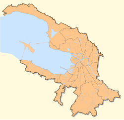
Geography of Saint Petersburg
To the north of the city lies the Karelian Isthmus, a popular summer-resort area for citizens, while in the south Saint Petersburg crosses the Baltic-Ladoga Klint and meets the Izhora Plateau.
The elevation of Saint Petersburg ranges from the sea level to its highest point of 175.9 m (577 ft) at the Orehovaya hill in the Duderhof Heights in the south.
However, the historical city center (except the area between Liteyny Prospekt and Smolnaya Embankment) is situated lower than 4 metres (13 ft) above sea level and has suffered from flooding about 300 times in its history.
Floods in Saint Petersburg are triggered by long waves in the Baltic Sea, developing regularly under some meteorological conditions and amplified by favorable winds and by the shallowness of the Neva Bay.
The Saint Petersburg Dam, built to prevent floods, was completed in August 2011 after a lengthy period of construction beginning in 1979.
Other islands include: Saint Petersburg experiences a humid continental climate of the warm summer subtype (Köppen: Dfb), due to the distinct moderating influence of the Baltic Sea cyclones.