Image resolution
Low spatial resolution techniques will be unable to differentiate between two objects that are relatively close together.
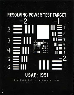
In effect, spatial resolution is the number of independent pixel values per unit length.
In remote sensing, spatial resolution is typically limited by diffraction, as well as by aberrations, imperfect focus, and atmospheric distortion.
The ground sample distance (GSD) of an image, the pixel spacing on the Earth's surface, is typically considerably smaller than the resolvable spot size.
In astronomy, one often measures spatial resolution in data points per arcsecond subtended at the point of observation, because the physical distance between objects in the image depends on their distance away and this varies widely with the object of interest.
The former often helps one detect periodicity in specimens, whereas the latter (although more difficult to achieve) is key to visualizing how individual atoms interact.
This fundamental limitation can, in turn, be a factor in the maximum imaging resolution at subatomic scales, as can be encountered using scanning electron microscopes.
Radiometric resolution determines how finely a system can represent or distinguish differences of intensity, and is usually expressed as a number of levels or a number of bits, for example 8 bits or 256 levels that is typical of computer image files.
The higher the radiometric resolution, the better subtle differences of intensity or reflectivity can be represented, at least in theory.
In practice, the effective radiometric resolution is typically limited by the noise level, rather than by the number of bits of representation.
Many cameras and displays offset the color components relative to each other or mix up temporal with spatial resolution: