Jewel Cave National Monument
[6] Frank and Albert Michaud, two local prospectors, discovered the cave in 1900, when they felt cold air blowing out of a small hole in a canyon.
It is unknown whether any previous inhabitants of the area were aware of the natural cave opening, which was not large enough for a person to enter.
The two agencies performed a land swap in 1965, establishing the present boundaries of the park, and enabling the development of a new part of the cave.
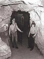
The Park Service sunk a 300 feet (91 m) elevator shaft to a previously remote cave area, and built concrete walks and metal stairs and platforms along a one-half-mile loop.
The cave is mapped by traditional survey techniques, using compass, clinometer and today with lasers instead of tape measures.
The later limestones, sandstones, and shales deposited in these Paleozoic and Mesozoic seas were eroded with the geologic uplift associated with Laramide Orogeny and the formation of the Black Hills.
Uplift continued in the Late Pliocene or Early Pleistocene lowering the water table and draining the cave.
After main cave dissolution, a thick layer of calcite lined the walls about 2.5 million years ago.
Those are created when gas of an unknown source inflates a pasty substance formed by the precipitation of the magnesium carbonate hydroxide mineral.