Jungnang District
It is also a transportation hub in northeastern Seoul as a gateway to Gyeonggi and Gangwon regions.
In particular, traces of Saturn remained in the area from Bongsudae in Sangbong-dong to Myeonmok-dong until the 1960s, indicating that the Jungnang area was a city-state during the late Bronze Age and early Iron Age.During the Three Kingdoms period, it served as a bridgehead for securing the Han River basin in Baekje, and after the Unified Silla period, it became Yangjumok when 12 trees were installed nationwide in 983 of the early Goryeo dynasty.
Among the maps of Hansung Ranch, written by Heo Mok in 1663, Jinheonmajeongdo Island shows that the Han River is in the background of Bulamsan Mountain, Achasan Mountain in the north, and Jungnangcheon Stream and parts of Cheonggyecheon Stream and Sinchon in the east are not clear, but Jungnang District and Jungnang District are now.
101 and on August 6 of the following year, the 23bu system was abolished, and the country was divided into 13 degrees, and Yangju was separated from Hansung-bu and belonged to Gyeonggi-do as Yangju-gun.
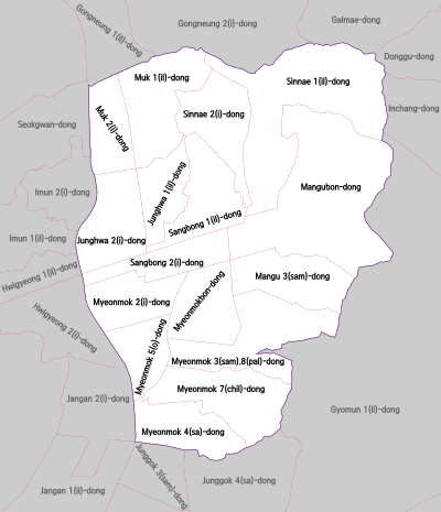
On December 29, 1913, the Jungnang area was part of Guri-myeon (currently Sangbong, Junghwa, Muk, Mangwoo, and Sinnae-dong) in Yangju-gun, Gyeonggi-do, and Ttukdo-myeon (currently Myeonmok-dong, Junggok-dong) in Goyang-gun was incorporated into Seoul on August 15, 1949, and in January 1963, Mangnae-ri in Yangjeong-myeon was reunited.