Kunwinjku people
Their original heartland is said to have been in the hilly terrain south of Goulburn Island and their frontier with the Maung running just south of Tor Rock.
Their northern extension approached Sandy Creek, while they were also present south-east at the head of Cooper's Creek and part of the King River.
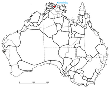
[3] In Norman Tindale's scheme, the Kunwinjku were allotted a tribal territory of around 2,800 square miles (7,300 km2) in the area south of Jungle Creek and on the headwaters of the East Alligator River.
[4] The Gumader swamps near Junction Bay and the creeks east of Oenpelli/Awunbelenja (now Gunbalanya) also formed part of their land.
[5] Dzamalag was a form of ritualised ceremonial exchange or bartering practised by the Gunwinggu people.