Mont Forel
Mont Forel is a mountain in King Christian IX Land, Sermersooq Municipality, Greenland.
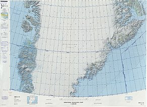
[1] This peak is located in a popular climbing destination, together with the Watkins Range to the northeast and the Stauning Alps further north.
[2] The mountain was named in 1912 by Swiss geophysicist and Arctic explorer Alfred de Quervain[3] after his Greenland icecap crossing from Godhavn (Qeqertarsuaq) on the west, to Sermilik Fjord on the eastern side.
[4] Mont Forel was first climbed by a Swiss expedition of the Akademischer Alpen-Club of Zürich led by André Roch in 1938.
[7] The Crown Prince Frederick Range stretches northeastwards to the northeast of Mont Forel.