Mount Airy, Pittsylvania County, Virginia
Mount Airy is an unincorporated community in northeastern Pittsylvania County, Virginia, United States.
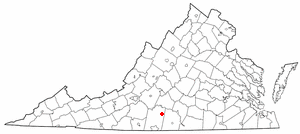
Its altitude is 643 feet (196 m), and it is located at 36°56′35″N 79°11′32″W / 36.94306°N 79.19222°W / 36.94306; -79.19222 (36.9429172, -79.1922420),[1] along State Route 40 between Gretna and Brookneal.
[2] It is included in the Danville, Virginia Metropolitan Statistical Area.
Sharswood Plantation lies a bit less than a mile south of Mount Airy.
This Pittsylvania County, Virginia state location article is a stub.