Ouareau River
The course of the river passes near the villages of Chertsey, Rawdon, Saint-Liguori and Crabtree.
[1] The surface of the Ouareau River (except the rapids areas) is generally frozen from mid-December to the end of March; safe circulation on the ice is generally done from the end of December to the beginning of March.
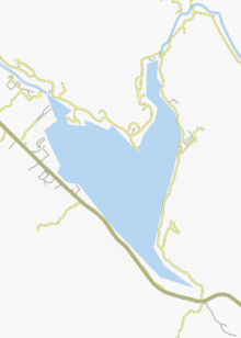
The Ouareau river has its source in the territory of the municipality of Saint-Donat-de-Montcalm, 12.4 km from the village (by Ouareau North road), at the dam erected at the northeast mouth of Lake Ouareau (length: 7.6 kilometres (4.7 mi); width: 4.1 kilometres (2.5 mi); altitude: 387 metres (1,270 ft)).
In its course, it receives the waters of: From the dam at the mouth of lake Ouareau, the Ouareau river flows over 83.8 kilometres (52.1 mi) according to the following segments: Upper course of the Ouareau river (segment of 23.0 kilometres (14.3 mi)) Intermediate course of the Ouareau river (segment of 31.0 kilometres (19.3 mi)) Lower course of the Ouareau river (segment of 29.8 kilometres (18.5 mi)) The Ouareau River flows on the west bank of the Assomption River, at the end of Pointe à Forget, in the municipality of Saint-Paul, at south of the city of Joliette.
[3] The river Ouareau toponym was formalized on December 5, 1968, at the Commission de toponymie du Québec.