Portsdown Hill
The ridge offers good views to the south over Portsmouth, the Solent, Hayling Island and Gosport, with the Isle of Wight beyond.
The hill is formed from an inlier of chalk which has been brought to the surface by an east–west upfold of the local strata known as the Portsdown Anticline.
The A3(M) motorway cuts through the east side of the hill while the original A3 climbs over the centre by the George Inn pub and Christ Church.
Most of the southern flank of the ridge is designated as access land under the Countryside and Rights of Way Act 2000 and thereby freely available for the public to enjoy on foot.
[3] During the early part of the English Civil War, Royalist forces from Portsmouth were involved in a number of skirmishes with Parliamentarians on the hill.
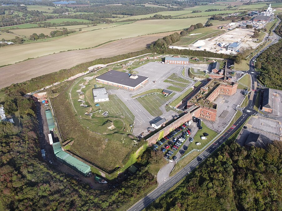
[5] The forts on Portsdown Hill were built as a result of the 1859 Royal Commission, as part of a series of fortifications built to defend Portsmouth and its dockyard (five miles away) from a possible attack from inland, as the development of rifled gun barrels made it possible for an invading army to land elsewhere, circle around to the top of the hill and bombard the city from there, rendering the existing Hilsea Lines at the bottom of the ridge useless.
Due to this they became known as "Palmerston's Folly" but, though never needed for their original purpose, were useful anti-aircraft gun emplacements during World War II.
[15][16] In October 2021, the fort was one of 142 sites across England to receive part of a £35-million injection into the government's Culture Recovery Fund.
An intensive restoration programme funded by the Countryside Commission and Portsmouth City Council was initiated in 1995; large areas of scrub have now been cleared by machine, and flowers and grasses allowed to regenerate naturally.
[21] Within the park is a building featuring radar towers similar to a Type 45 destroyer,[21] which are visible to a wide area of Hampshire.