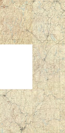
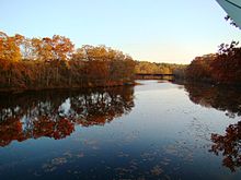
Quinebaug River
[2] It originates from East Brimfield Lake and ponds northwest of Sturbridge, Massachusetts, flows generally southeast and south through Connecticut (Putnam, Danielson, Plainfield, Canterbury and Jewett City), the river joins Aspinook pond which begins in Canterbury and ends in Jewett City.
The Quinebaug River watershed covers 850 square miles (2,200 km2), and extends into western Rhode Island.
It is heavily forested with 29 named streams including six major tributaries (the French, Moosup and Five Mile Rivers, and the Wales, Mill and Cady brooks).
Elevations range from 1,264 feet (385 m) above sea level on Mount Pisgah in Wales, Massachusetts, to about 25 ft (7.6 m) in Norwich, Connecticut.
The sections are: Holland Pond to East Brimfield Reservoir (in Holland and Brimfield, Massachusetts), Paper Mill Dam in Dudley to West Thompson Lake, and Simonzi Park in Putnam to Aspinook Pond in Canterbury.