Raipur, Bankura (community development block)
From around the 7th century AD till around the advent of British rule, for around a millennium, history of Bankura district is identical with the rise and fall of the Hindu Rajas of Bishnupur.
First, the Maharaja of Burdwan seized the Fatehpur Mahal, and then the Maratha invasions laid waste their country.
[1] 106 districts spanning 10 states across India, described as being part of the Left wing extremism activities, constitutes the Red corridor.
In West Bengal the districts of Paschim Medinipur, Bankura, Purulia and Birbhum are part of the Red corridor.
However, as of July 2016, there had been no reported incidents of Maoist related activities from these districts for the previous 4 years.
[2] The CPI (Maoist) extremism which started in the district in the mid-nineties was mainly concentrated in five police station areas of Khatra subdivision – Sarenga, Barikul, Ranibandh, Raipur and Simlapal.
[3] The Lalgarh movement, which started attracting attention after the failed assassination attempt on Buddhadeb Bhattacharjee, then chief minister of West Bengal, in the Salboni area of Paschim Medinipur district, on 2 November 2008 and the police action that followed, had also spread over to these areas.
Although the epi-centre of the movement was Lalgarh, it was spread across 19 police stations in three adjoining districts – Paschim Medinipur, Bankura and Purulia, all thickly forested and near the border with Jharkhand.
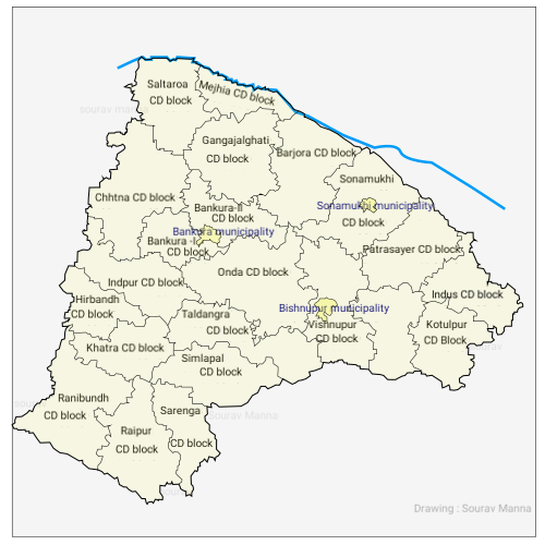
Raipur CD block is located in the south-eastern part of the district and belongs to the hard rock area.
[12] Large villages (with 4,000+ population) in Raipur CD block are (2011 census figures in brackets): Matgoda (5,197), Mandankuli (4,011) and Phulkusma (4,003).
[12] Other villages in Raipur CD block are (2011 census figures in brackets): Melera (2,066), Shyamsundarpur (2,268), Sonagara (2,395), Dundar (1,677), Dhanara (1,832) and Dheko (1,537).
[12] See also – List of West Bengal districts ranked by literacy rate Primary Census Abstract Data
[15] Others include Addi Bassi, Marang Boro, Santal, Saranath, Sari Dharma, Sarna, Alchchi, Bidin, Sant, Saevdharm, Seran, Saran, Sarin, Kheria,[16] and other religious communities.
Another study shows that around 23% of the people from the under-privileged blocks in the western and southern Bankura migrate.
Most people migrate to meet their food deficit and go to Bardhaman and Hooghly districts but some go to Gujarat and Maharashtra as construction labour.
It includes factory, mining, plantation, transport and office workers, those engaged in business and commerce, teachers, entertainment artistes and so on.
[23] There are 197 inhabited villages in the Raipur CD block, as per the District Census Handbook, Bankura, 2011.
[25] In 2013–2014, persons engaged in agriculture in Raipur CD block could be classified as follows: bargadars 2.31%, patta (document) holders 18.47%, small farmers (possessing land between 1 and 2 hectares) 5.25%, marginal farmers (possessing land up to 1 hectare) 18.47% and agricultural labourers 55.50%.
[25] The handloom industry engages the largest number of persons in the non farm sector and hence is important in Bankura district.
The handloom industry is well established in all the CD blocks of the district and includes the famous Baluchari saris.
In 2014, Raipur CD block had 1 rural hospital and 3 primary health centres with total 64 beds and 10 doctors.