San Gabriel Fault
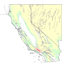
The San Gabriel Fault is a geological fault in Los Angeles County, California, running about 87 miles (140 km) southeastward from the Ridge Basin in the Sierra Pelona-San Emigdio Mountains juncture area to the western San Gabriel Mountains that forms their southwestern face near Sunland and the northeastern San Fernando Valley, and then on the south flank to the southeastern part of the San Gabriel range.
The San Gabriel Fault is a right-lateral strike-slip that was last active between 10 and 5 million years ago[1] – Late Quaternary west of intersection with the Sierra Madre Fault, and Quaternary east of that intersection, and Holocene only further west between Saugus and Castaic-Gorman.
It is part of the San Gabriel Fault Zone, which starts in the northwestern corner of the Ridge Basin, splits into two faults in its southeastern section, in the northwestern San Gabriel Mountains, and ends in the eastern part of those Mountains.
It is older and goes eastward from the south branch which is younger, the Vazquez Creek Fault.
The northern part is considered inactive, while the southeast part near Honor Rancho Oil Field is thought to be active due to evidence of Holocene sediment displacement.