Shepherd Parkway
The parkway runs along the high ground opposite the Anacostia Freeway (Interstate 295) from Joint Base Anacostia–Bolling in the District of Columbia.
Shepherd Parkway is bordered on the north by St. Elizabeths Campus and the District of Columbia neighborhoods of Congress Heights and Bellevue and on the south (near Oxon Run) by Bald Eagle Hill.
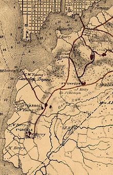
The large fort, a headquarters for soldiers east of the Anacostia River, was built to protect the cavalry depot and the Washington Arsenal and Navy Yard.
The fort, at the southern end of the Shepherd Parkway ridge, protected the Potomac (including the ravines along Oxen Run and Piscataway Road, now Martin Luther King Avenue).
After the enactment of the Thirteenth Amendment to the United States Constitution, which outlawed slavery, many remained nearby and by the end of the century the area had a number of African-American communities.
[3] At the end of the war, the Freedmen's Bureau purchased the Barry farm north of St. Elizabeths Hospital and divided the land into 1 acre (0.40 ha) lots.
On April 11, 1927, the National Capital Parks and Planning Commission acquired Shepherd Parkway as its first property for its proposed Fort Drive.
The plan became a casualty of the Great Depression until 1933, when the New Deal turned most public green space to the National Park Service.