Tel Hanaton
(Joshua 19:14) The tel rises to 75m above the surrounding valley, part of which represents the stratification layers on which the Bronze Age and later settlements were built on a natural outcrop of rock.
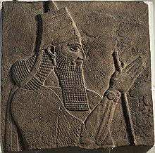
In Amarna letter EA 8, king Burna-Buriash of Babylon complains to the Pharaoh about some Babylonian merchants being killed somewhere near the city of 'Hinnatuna of Canaan', and asks him to take measures.
25 acres) which attests to the power and wealth of the settlement, most likely achieved due to the large tracts of highly fertile arable land surrounding the tel in the Beit Netofa Valley, together with its position astride a major 'Egypt to Mesopotamia' international trade route for the period.
In Iron Age II, Hanaton is mentioned in records at Nineveh, the capital of the Neo-Assyrian Empire as one of five Israelite cities totally destroyed by Tiglath-pileser III, King of Assyria, in the campaign of conquest of the northern Kingdom of Israel between 724-722 BC.
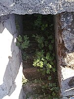
The site shows physical evidence of typical Frankish construction with stone stairwells, large halls and arched ceilings, which may have been part of an 11th-century fortified agricultural settlement together with nearby Sepphoris (also known as Dioceserea).
Historical geographer, Victor Guérin, thought that the tel may have been the village Garis mentioned by Josephus in The Jewish War, because of its proximity to Sepphoris.