Administrative divisions of Singapore
Established in 1997 by the PA Act, there were nine districts formerly, governed by nine different Community Development Councils (CDCs).
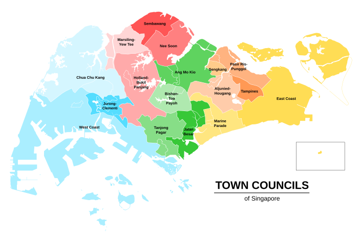
The council boundaries follow that of the existing political divisions, with each handling between four and six GRCs and SMCs and roughly dividing the country's population into equal parts.
[3] The electoral boundaries of Singapore are relatively fluid, and are reviewed prior to each general election.
The boundaries of the electoral constituencies are decided by the Elections Department, which is under the control of the Prime Minister's Office.
In the 1990s, the Urban Redevelopment Authority carved up the country into 55 of planning areas, which are further divided into 332 subzones.
The Singapore Department of Statistics adopted these boundaries for the latest 2000 nationwide population census, and the Singapore Police Force uses them as an approximate guide when demarcating boundaries for its Neighbourhood Police Centres.