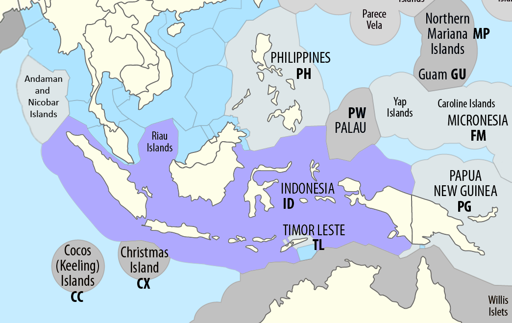
Borders of Indonesia
Indonesia has common maritime boundaries with Australia, India, Malaysia, Philippines, Palau, Singapore, Thailand, and Vietnam.
Provisions of the 1997 treaty on matters concerning the Timor Gap – such as reaffirming the Timor Gap Treaty between Australia and Indonesia and the drawing of the water column boundary through the area of joint development – would no longer be applicable with Timor-Leste becoming the rightful claimant of the seabed and exclusive economic zone in the area.
The 1997 treaty extended it further west, terminating at A82 in the Indian Ocean where Australia's and Indonesia's exclusive economic zone limits diverge.
Christmas Island is an external territory of Australia located in the Indian Ocean 186 nautical miles (344 km) south of the southern coast of Java.
It runs to the south of the Australia-Indonesia seabed boundary and terminates in the Indian Ocean where the Australian and Indonesia EEZ diverge.
The stretch is now replaced with a "water column jurisdiction" line drawn by the Treaty on Certain Maritime Arrangements in the Timor Sea between Australia and Timor-Leste signed on 12 January 2006 which corresponds with the southern border of the Australia–Timor-Leste Joint Petroleum Development Area (JPDA), with Australia having control over the water column south of the line, and Timor-Leste to the north including over the entire JPDA.
Malaysia's 1979 map The continental shelf and territorial sea boundaries beyond the southern terminus of the 1969 and 1970 agreements have not been agreed to.
Indonesia and Singapore signed an agreement in 2009, extending their defined common boundary to a point where the two countries claim was as far westwards as they could go bilaterally.
The map places Pedra Branca, Middle Rocks and South Ledge inside Malaysia's territorial sea.
The 2008 International Court of Justice decision on the sovereignty of Pedra Branca, Middle Rocks and South Ledge should enable the maritime borders between the three countries in this stretch of waters to be determined.
Revision to the 1979 map will be needed with the awarding of Pedra Branca to Singapore and Middle Rocks to Malaysia by the ICJ.
[7] The boundary begins at Point 21 with coordinates 109° 38'.8E 02° 05'.0 N (109° 38' 48" E 02° 05' N) off Tanjung Datu at the western extremity of the Malaysia state of Sarawak.
Point 25 is also the eastern terminus of the Indonesia-Vietnam continental shelf boundary which was agreed to by the two countries in 2003, making it the common tripoint of Indonesia, Malaysia and Vietnam.
Indonesia initially rejected the assertion that the islands belonged to Malaysia and both countries brought the dispute to the International Court of Justice.
[13] The border between Indonesia and the Philippines consists of maritime boundary mainly on the Celebes Sea that separates the two Southeast Asian countries as defined through a pact that was signed by both parties in 2014.
[14] The border is also the Exclusive economic zone (EEZ) boundary between Indonesia and the Philippines, which is delimited through eight geographic coordinate points.
[16] The following table shows the geographical coordinates points as defined in the Philippine and Indonesian agreement on the Exclusive Economic Zone boundary that was signed in 2014.
[19][20] The new western end-point Point 1C is deemed to be located near but is not the tri-point for Indonesia, Malaysia and Singapore and tri-lateral negotiations will be further needed to determine where the maritime boundaries of the three countries meet.
[21] The 2009 extension uses the basepoints of Pulau Nipah in Indonesia and Singapore's Sultan Shoal, which has virtually been surrounded by reclaimed land.
Another portion will be located further east between Pedra Branca, which the International Court of Justice awarded to Singapore in 2008 in a dispute with Malaysia, and Indonesia's Bintan island.
[24][25] The coordinates of end and turning-points of the border are as follows:- The Agreement between the Government of the Republic of Indonesia and the Government of the Socialist Republic of Vietnam concerning the delimitation of the Continental Shelf Boundary was signed on 26 June 2003 in Hanoi, Vietnam, by Indonesia's Foreign Minister Hasan Wirajuda and his Vietnamese counterpart Nguyen Dy Nien.
The dispute over the Ambalat block of the Celebes Sea seabed, believed to be rich in mineral resources, continues.
Malaysia however, claimed a stretch of territorial waters and the continental shelf south of the latitude which included the two islands.
The dispute was brought before the International Court of Justice and on 17 December 2002, decided that sovereignty of Sipadan and Ligitan belonged to Malaysia on the basis of effectivités.
Ambalat is an area of the seabed or continental shelf in the Celebes Sea off the east coast of Borneo which is claimed by Indonesia and Malaysia.
Contrary to popular belief, the International Court of Justice decision over the sovereignty of Sipadan and Ligitan did not solve the dispute over Ambalat as it did not include issues concerning the demarcation of the territorial sea and continental shelf boundaries of the two countries in the area.
[29] The dispute started with Malaysia issuing a map in 1979 of its territorial sea and continental shelf which included the Ambalat block.
The map drew Malaysia's maritime boundary in a southeast direction into the Celebes Sea after it leaves the eastmost point on land on Sebatik island.
Indonesia has never officially announced the exact locations of its maritime boundaries but claimed during its arguments in the Sipadan Case that it continued in a straight line along the 4° 10' North latitude after it leaves Sebatik.
Parts of China's nine-dash line overlap Indonesia's exclusive economic zone near the Natuna islands.