Electoral division (Ireland)
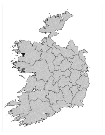
An electoral division (ED, Irish: toghroinn[1]) is a legally defined administrative area in the Republic of Ireland, generally comprising multiple townlands, and formerly a subdivision of urban and rural districts.
[4][5] The boundaries of these were drawn by Poor Law Commissioners, with the intention of producing areas roughly equivalent in both population and "rateable value" (rates being the property tax which funded local government).
This meant that while electoral divisions almost always contiguous, they might bear little relation to natural community boundaries.
The 1838 act required electoral divisions to comprise complete townlands; an 1839 amendment empowered the Commissioners to ignore this restriction when constituting a large town into a single electoral division and dividing it into "wards" for poor law elections.
In 1872, the Poor Law Commissioners were replaced by the Local Government Board for Ireland (LGBI) which had broader powers.
The Commissioners and LGBI had power to revise most local boundaries, including electoral divisions.
[12] The LGBI got temporary power to redraw boundaries to adapt to the 1898 act, which as regards DEDs it used mainly around municipal areas (county boroughs, urban districts, and towns with commissioners).
[24] The worsening of the Troubles meant direct rule was introduced in 1972; among the changes intended to conciliate nationalists was the reintroduction of STV for the 1973 local elections, based on district electoral areas made up of multiple wards.
[31] The Local Government Act 1994 substituted the name "electoral division" to replace both the names "district electoral division" (as used in counties) and "ward" (as used in county boroughs, themselves renamed "cities" by the Local Government Act 2001).
[33] Populations now vary widely, ranging in 2016 from 38,894 for Blanchardstown–Blakestown in Fingal to 12 for Lackagh, North Tipperary and 7 for Ballynaneashagh, Waterford City.