Forrestal Range
[1] The Forrestal Range was discovered and photographed on 13 January 1956 on a transcontinental patrol plane flight of United States Navy Operation Deep Freeze I from McMurdo Sound to the vicinity of the Weddell Sea and return.
The entire Pensacola Mountains were mapped by United States Geological Survey (USGS) in 1967 and 1968 from United States Navy tricamera aerial photographs taken in 1964.
[1] Download coordinates as: The Forrestal Range extends in a north-northeast direction along the west side of the Support Force Glacier.
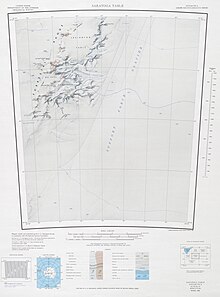
Major features from south to north include the Saratoga Table, Lexington Table, Kester Peaks and Mount Malville.
[2][3] Peaks over 1,500 metres (4,900 ft) high include: Features that are the focus of a group of lesser or related features include