Geography of Antigua and Barbuda
Antigua and Barbuda lie in the eastern arc of the Leeward Islands of the Lesser Antilles, separating the Atlantic Ocean from the Caribbean Sea.
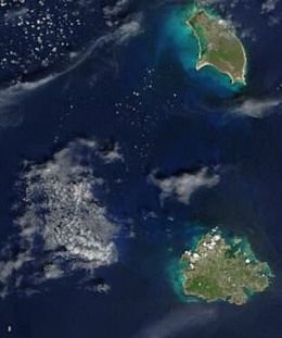
[2][3] Antigua and Barbuda both are generally low-lying islands whose terrain has been influenced more by limestone formations than volcanic activity.
[1] The highest point on Antigua is Boggy Peak, the remnant of a volcanic crater rising 402 meters (1,319 ft).
[1] This mountain is located amid a bulge of hills of volcanic origin in the southwestern part of the island.
Barbuda's highest elevation is 44.5 metres (146 ft), part of the highland plateau east of Codrington.
[1] Tiny Redonda rises to 246 metres (807 ft) and has very little level ground, while Barbuda is very flat with few if any hills.
[1] Like other island nations, Antigua and Barbuda faces unique environmental issues created by its proximity to the ocean, and small size.