Harveys Creek
A short distance downstream, it picks up the tributary Bear Hollow Creek and turns south for several miles.
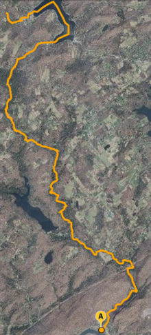
It eventually enters Lehman Township and turns southeast, crossing Pennsylvania Route 118.
It eventually enters Jackson Township, where it crosses Pennsylvania Route 29 and picks up the tributary Pikes Creek.
It then turns southeast and enters a valley, where it flows roughly parallel to Pennsylvania Route 29 for a number of miles.
[2] Harveys Creek joins the Susquehanna River 181.02 miles (291.32 km) upstream of its mouth.
[2] Paint Spring Run joins Harveys Creek 11.42 miles (18.38 km) upstream of its mouth.
[6] During this time period, the concentration of carbon dioxide in the waters of Harveys Creek at West Nanticoke ranged from 0.3 to 8.7 milligrams per liter.
The concentration of magnesium in the waters of Harveys Creek at West Nanticoke ranged from 2.00 to 4.75 milligrams per liter.
[7] Upstream of the tributary Paint Spring Run, the peak annual discharge of Harveys Creek has a 10 percent chance of reaching 710 cubic feet per second.
The peak annual discharge has a 0.2 percent chance of reaching 2553 cubic feet per second.
[7] The average annual rate of precipitation in the watershed of Harveys Creek ranges from 35 to 45 inches (89 to 114 cm).
The creek's channel is sinuous and flows through rock formations consisting of sandstone and shale.
Upstream of the tributary Paint Spring Run, its watershed has an area of only 10.72 square miles (27.8 km2).
[7] The creek's mouth is in the United States Geological Survey quadrangle of Nanticoke.
[15] The United States Board on Geographic Names made an official decision pertaining to Harveys Creek in 1950.
[1] Historically, the Great Warrior Path of the Native Americans crossed Harveys Creek near its mouth.
[8] In 2001, the Pennsylvania Fish and Boat Commission banned alcoholic beverages within 25 feet (7.6 m) of an 8.5-mile-stretch of Harveys Creek.
[19] A steel girder and floorbeam system bridge carrying T-486/East Poplar Street was constructed over Harveys Creek in 1924.
A two-span concrete tee beam bridge carrying Pennsylvania Route 29 over the creek was built in 1927 and repaired in 1980.
In 1935, another two-span concrete tee beam bridge, this one carrying Pennsylvania Route 118, was constructed over the creek.
[20] A four-span steel culvert bridge carrying State Route 1048/Meeker Road over Harveys Creek was built in 1977.
[20] A bridge carrying Pennsylvania Route 29 over Harveys Creek in Plymouth Township was built in 2005.
[21] Wild trout naturally reproduce in a stretch of the creek from Meeker Outlet Road/T810, downstream to its mouth.
[9] It is possible to canoe on 5.4 miles (8.7 km) of Harveys Creek during a fast snowmelt or within two days of heavy rain.
[11] In the late 1980s, Harveys Creek was the most popular trout stream in Luzerne County.
[16] A 1991 book stated that the creek was the most extensively stocked and fished stream in the county.