Hudson River Waterfront Walkway
The ongoing and incomplete project located on Kill van Kull and the western shore of Upper New York Bay and the Hudson River was implemented as part of a New Jersey state-mandated master plan to connect the municipalities from the Bayonne Bridge to the George Washington Bridge with an urban linear park and provide contiguous unhindered access to the water's edge.
Its northern end is in Palisades Interstate Park, allowing users to continue along the river bank and alpine paths to the New Jersey/New York state line and beyond.
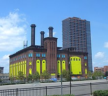
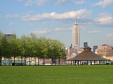
[7] It traverses established residential and commercial areas, re-developed piers, wetland preservation zones, industrial and transportation infrastructure, and is dotted with public and private marinas and parks.
In 1988, the New Jersey Department of Environmental Protection created the Coastal Zone Management Rules, which outlined the regulations and specifications for its construction.
A federal judge rejected the suit, upholding a state rule that requires property owners to provide access to the waterfront.