Kawartha Lakes Road 35
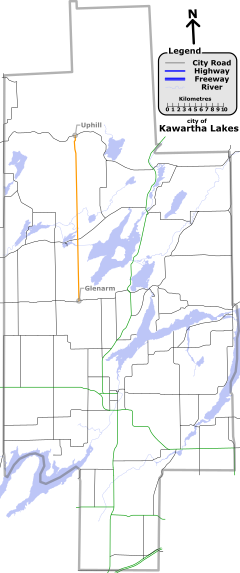
North of this point, the road is on a lower maintenance priority,[5] and pavement conditions quickly deteriorate.
As it rises out of the valley, now in the Canadian Shield, the route becomes very narrow and features several blind turns before ending in Uphill at Kawartha Lakes Road 45.
The townships established along these fronts contained generally fertile land composed of glacial till and clay-rich loam.
As these townships filled up, business opportunities presented themselves for investors to purchase native lands and open them to settlement.
[6] As these areas too filled, the government came under pressure to open up the unforgiving terrain of the Canadian Shield to settlement, and sought to establish a network of east–west and north–south roads between the Ottawa Valley and Georgian Bay.
The government subsequently built over 1,600 kilometres (1,000 mi) of roads over the following 20 years to provide access to these grants.
Despite an early influx of settlers, the vast majority of grants were abandoned by the turn of the century; only 40% remained.
The road continued north of its current terminus in Uphill into what is now the Queen Elizabeth II Wildlands Provincial Park.