Kokrajhar district
The district has its headquarters located at Kokrajhar Town and occupies an area of 3,169.22 km2 (1,223.64 sq mi).
It has two civil sub-divisions namely Parbatjhora and Gossaigaon and five revenue circles namely Kokrajhar, Dotma, Bhaoraguri, Gossaigaon and Bagribarilll From early 17th-century present-day Kokrajhar district was under the control of Kingdom of Bhutan,[1] till the Duar Wars in 1865 when British removed the Bhutanese influence and later the areas were merged to undivided Goalpara district of the Indian Union in 1949.
In 1957, under the administration of Bimala Prasad Chaliha as the Chief Minister of Assam, three sub-divisions were created one of which was Kokrajhar.
[3] Kokrajhar district occupies an area of 3,129 square kilometres (1,208 sq mi),[4] comparatively equivalent to Indonesia's Waigeo Island.
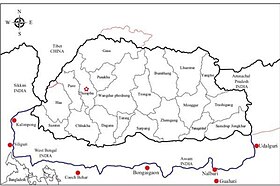
Kokrajhar shares its boundary with Bongaigaon (now known as Chirang), Dhubri, West Bengal, Barpeta and Bhutan.
Kokrajhar is known as a global center of Bodo culture and language and serves as the capital of Bodoland Territorial Council.