Lambert Glacier
This glacier was delineated and named in 1952 by American geographer John H. Roscoe who made a detailed study of this area from aerial photographs taken by Operation Highjump, 1946–47.
Mather in 1957, and was named by ANCA for N.H. Fisher, chief geologist at the Bureau of Mineral Resources, Department of National Development, Australia.
It was plotted from air photos taken by ANARE in 1956 and 1957, and was named by ANCA for Hendrik Geysen, officer in charge of Mawson Station, 1960.
It was mapped by ANARE from air photos taken in 1956 and 1960, and named by ANCA for Neville Joseph Collins, senior diesel mechanic at Mawson Station, 1960.
Two nunataks 16 nautical miles (30 km) west of Mount Scherger, near the head of Fisher Glacier.
A mountain with two peaks separated by an ice-filled saddle, standing 20 nautical miles (37 km) west of Mount Stinear on the north side of Fisher Glacier.
A large humped mountain with a boulder strewn surface and conical peak near the center, standing between flow of Collins and Mellor Glaciers.
A small nunatak 20 nautical miles (37 km) northeast of Clemence Massif on the east side of Lambert Glacier.
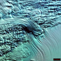
On the lower photo north is at the bottom, and the ice velocities are approximate as follow: This article incorporates public domain material from "Lambert Glacier".