Lieser, Germany
The village is shaped like an upside-down T (when viewed from the south) as many houses have been built below the vineyards, along the Moselle's bank.
The older part of the lower village exhibits tight terraced housing development with vineyards lying behind, owing to the intensive winegrowing.
[4] According to documents from 1085 and 1165, a great part of the land in Lieser belonged “together with the church and its tithes, vineyards and cropfields…” to the Abbey of Saint-Hubert, which was subordinate to the Prince-Bishopric of Liège (nowadays in Belgium).
In 1693 and 1698, during Louis XIV's wars of conquest, pontoon bridges were set up across the Moselle to quicken troop transport across the river.
Until French Revolutionary troops in 1794 marched in, Lieser belonged to the Electorate of Trier and the High Court of Bernkastel, to which it even sent Schöffen (roughly “lay jurists”).
[10] Since the turn of the 21st century, Lieser has had at its disposal a flood control dyke on the site of the former railway embankment.
[11] The municipality's arms might be described thus: Per pale argent two keys in saltire gules, the wards to chief and turned outwards, the key bendwise sinister surmounting the other, and gules a vine palewise embowed to dexter towards chief and slipped in base, fructed of one bunch of grapes, all proper, in a point in point sable a post horn Or, the bell to sinister and the coil to chief.
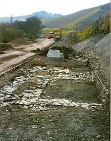
The grapevine on the sinister (armsbearer's left, viewer's right) side stands for the municipality's winegrowing, which is historically witnessed all the way back to Roman times.
[12] Near Lieser, the Mosel-Radweg (cycle path) from Trier to Koblenz meets the Maare-Mosel-Radweg coming from Daun.