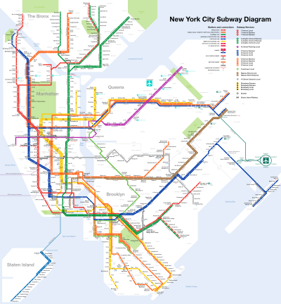
List of New York City Subway stations in Brooklyn
The oldest right-of-way in the entire subway system is that of the West End Line.
Its right-of-way began passenger service on October 9, 1863, as a surface steam railroad called the Brooklyn, Bath and Coney Island.
[1][2] It was later rebuilt under the Dual Contracts, opening as the current elevated road on June 24, 1916.
The rest of the line from Marcy Avenue to Broadway Junction was rebuilt during the Dual Contracts.
Originating on July 2, 1878, the BF&CI ran from the former Bedford Station on the Atlantic Branch of the Long Island Rail Road, to Brighton Beach.
It also had a spur to the Sheepshead Bay Race Track southeast of Neck Road.
Losing their connection to the LIRR in 1893, the railroad almost collapsed until it was acquired by the Kings County Elevated Railway in 1896, which electrified the line by 1899 for both rapid transit and streetcar lines, and itself became part of Brooklyn Rapid Transit in 1900.
Once acquired by the BRT in 1906, it was split between a mostly elevated rapid transit line from Rockaway Boulevard and Broadway Junction, and the Canarsie Shuttle streetcar line south of Rockaway Boulevard to Jamaica Bay by 1920.
The Montague Street Tunnel opened on August 1, 1920, connecting Brooklyn directly to Lower Manhattan.
Besides the BMT and its predecessors, the Interborough Rapid Transit Company expanded two subways and one elevated line into Brooklyn.
[7] In 1933, the city-owned Independent Subway System built the IND Crosstown Line from Court Square in Long Island City south to Nassau Avenue in Greenpoint, and then from Metropolitan Avenue in Williamsburg to Hoyt and Schermerhorn Streets in Downtown Brooklyn.
Additionally, in 1933, they built IND Brooklyn Line from Jay Street–Borough Hall to Church Avenue station.