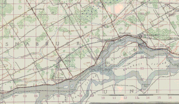
Long Sault Parkway
The parkway is located between the towns of Ingleside and Long Sault in the municipality of South Stormont, and connects with County Road 2 (former Highway 2) at both ends.
Ingleside and Long Sault were created concurrently with the parkway to rehouse the residents of farms and communities that now lie below the surface of the St. Lawrence River as the result of the construction of the Moses-Saunders Power Dam.
On Macdonnell Island, named for Bishop of Upper Canada Alexander Macdonell, the parkway gradually curves northward as it passes an information booth for The Lost Villages and Save Ontario Shipwrecks, as well as the Lock 21 and Camp Carp campsites.
"[12] Listed from west to east:[3][6] The Long Sault Parkway was created as a direct result of the building of the Moses-Saunders Power Dam and the St. Lawrence Seaway in the 1950s.
[13] The Seaway was a massive undertaking of both the Canadian and US governments that involved the "removal" of the Long Sault rapids by raising the water level approximately 26 metres (85 ft).
[14][15] Plans and small projects to tame the Long Sault, which straddled the border between the two countries, had been commonplace since the 1890s, with the International Joint Commission (IJC) being formed to deal with the bilateral process.
However, continued stalling by the American Senate and Congress through the 1930s and 1940s resulted in Canada announcing in 1951 that it would proceed alone with the construction of a dam at Cornwall to harness power from the St. Lawrence River, as well as an expanded canal entirely within its borders.
[13] On August 10, 1954, prime minister Louis St. Laurent, Ontario premier Leslie Frost, New York governor Thomas E. Dewey and various officials gathered at the now inundated village of Maple Grove.
[18] Ontario Hydro set forth to relocate residents of the 58,000 acres (235 km2) of land that would be flooded, and move some structures to one of two new town sites—Ingleside or Long Sault—or the Upper Canada Village.
As well as displacing 6,500 people and submerging 10 communities,[16] the project uprooted the Akwesasne First Nations and washed away the site of the Battle of Crysler's Farm; the former would not reach a settlement until 50 years later in 2008,[19] while the latter saw a monument installed at Upper Canada Village.
[27] On June 26, 1957, the Department of Mines released names for the future islands along the parkway, with each chosen to commemorate early settlers or communities lost to the project.