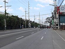
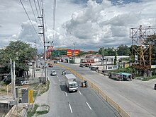
MacArthur Highway
It is primarily known as MacArthur Highway in segments from Caloocan to Urdaneta, Pangasinan,[2] although it is also applied up to Ilocos Sur[3] and called Manila North Road for the entire length.
The entire road consists of a series of route numbering systems by the Department of Public Works and Highways.
Manila North Road's section from Caloocan to Urdaneta, Pangasinan is officially recognized as MacArthur Highway,[5] although it is also known as such in La Union and Ilocos Sur.
[6] Through the city proper of San Fernando, La Union, the road is locally known as Quezon Avenue.
[5][8] In 1991, the highway was affected by the eruption of Mount Pinatubo, with the collapse of the Bamban Bridge, which carried it over the Sacobia River at the Tarlac–Pampanga provincial boundary, effectively disconnecting it.