Mattabesett Trail
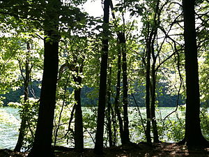
Here, the trail follows an upland of metamorphic rock with occasional views and dense forests.
Site-specific activities enjoyed along the route include bird watching, hunting, fishing, horseback riding, bouldering and rock climbing.
Trail descriptions are available from a number of commercial and non-commercial sources, and a complete guidebook is published by the Connecticut Forest and Park Association It is regularly maintained, and is considered moderately challenging due to the amount of elevation change with sections of rugged and moderately difficult hiking.
Conditions on exposed ridge tops and summits may be harsher during cold or stormy weather.
Ice can form on exposed ledges and summits, making hiking dangerous without special equipment.
Extensive flooding in ponds, puddles and streams may occur in the late winter or early spring, overflowing into the trail and causing very muddy conditions.
Some southern and eastern parts of the trail follow forest roads which often contain ruts from ATVs and four-wheel drive vehicles.
Parts of the trail (particularly the easternmost sections) are adjacent to, or is on lands where hunting and the use of firearms are permitted.
Wearing bright orange clothing during the hunting season (Fall through December) is recommended.