Meewasin Valley Authority
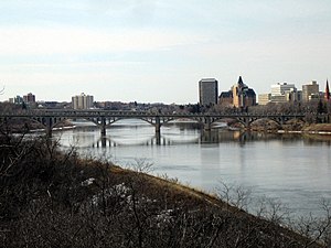
Centred in Saskatoon, the Conservation Zone of Meewasin runs 60 kilometres (37 mi) along the river valley from the eastern edge of the municipality of Corman Park through Saskatoon to the western edge of Corman Park (Pike Lake to Clarke’s Crossing).
It is made up of numerous conservation areas, canoe launches, interpretive centres (Meewasin Valley Centre, Beaver Creek Conservation Area and Saskatoon Natural Grasslands), Yorath Island, the university lands, a skating rink, and over 107 kilometres (66 mi) of Meewasin Valley Trail, 22.5 km (14.0 mi) of which are paved.
Meewasin has statutory authority to control development in the Conservation Zone along the river valley, and does so through public committees.
Approximately 54% of its budget for 2006–07 came from non-statutory sources to support conservation, development and education initiatives.
The jurisdiction of the authority runs for approximately 60 km along the river from Pike Lake in the southwest to Clarke's Crossing in the northeast in the City of Saskatoon, Rural Municipality of Corman Park and University of Saskatchewan.