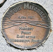
Mount Mitchell
It is located near Burnsville in Yancey County, North Carolina in the Black Mountain subrange of the Appalachians about 19 miles (31 km) northeast of Asheville.
The mountain's topographic isolation is calculated from the nearest discernible single higher point: Lone Butte, which is 1,189 miles (1,913 km) away in southeastern Colorado.
They later named it after Elisha Mitchell, a professor at the University of North Carolina, who first explored the Black Mountain region in 1835.
The latter had been commonly thought at the time to be the highest point in the United States east of the Rocky Mountains.
[citation needed] A 4.6-mile (7.4 km) road (NC 128) connects the scenic Blue Ridge Parkway to a parking lot where a steep paved 980-foot (300 m) trail leads through a conifer forest to the summit.
[8] The mountain's summit is coated in a dense stand of Southern Appalachian spruce-fir forest, which consists primarily of two evergreen species—the red spruce and the Fraser fir.
These acids damage the red spruce trees in part by releasing natural metals from the soil, such as aluminum, and by leaching important minerals.
Young fir and spruce trees do well in the subalpine climate, and their cones feed the birds along with wild blueberry and blackberry shrubs.