Nanda Devi National Park
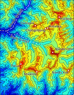
Within the park lies the Nanda Devi Sanctuary, a glacial basin surrounded by a ring of peaks between 6,000 metres (19,700 ft) and 7,500 m (24,600 ft) high, and drained by the Rishi Ganga through the Rishi Ganga Gorge, a steep, almost impassable, defile.
The national park is embedded in the 2,236.74 km2 (863.61 sq mi) Nanda Devi Biosphere Reserve, which, in turn, is encompassed in the 5,148.57 km2 (1,987.87 sq mi)[2][3] buffer zone around the Nanda Devi and Valley of Flowers National Parks UNESCO site.
Together, they are surrounded by the main sanctuary wall, which forms a roughly square outline, with high, continuous ridges on the north, east and south sides.
Ramani, alpine, prone mosses and lichens are other notable floral species found in Nanda Devi National Park.
Before the advent of spy satellites much of the clandestine intelligence gathering relied on ground based sensors.
CIA was looking for a Himalayan peak high enough to secure a direct line of sight to the Chinese missile testing zone.
Together with the Intelligence Bureau of India, they planned a secret mission to install a nuclear powered listening device on top of the peak of Nanda Devi.
A joint team of CIA hired US mountaineers together with Indian contingent from the defense forces were detailed to carry out the secret mission.
[8][9] By that time the mountaineering season was concluding and the mission met with adverse climatic conditions.
They left behind the plutonium fueled device with the intention of renewing their attempt during the next year's climbing season.