Plat
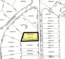
In the United States, a plat (/plæt/[1] or /plɑːt/)[2] (plan) is a cadastral map, drawn to scale, showing the divisions of a piece of land.
City, town or village plats show subdivisions broken into blocks with streets and alleys.
[3] In order for plats to become legally valid, a local governing body, such as a public works department, urban planning commission, zoning board, or another organ of the state must normally review and approve them.
The creation of a plat map marks an important step in the process of incorporating a town or city according to United States law.
Parcel maps, unlike any other public real estate record, have no federal, state or municipal oversight with their development.