Lot and block survey system
A subdivision survey is conducted to divide the original tract into smaller lots and a plat map is created.
Usually this subdivision survey employs a metes and bounds system to delineate individual lots within the main tract.
A mere reference to the individual lot and the map's place of record is all that is required for a proper legal description.
By contrast, a Public Land Survey System legal description of the same 2.5 acres (10,000 m2) property would be something like SW 1/4 SW1/4 NE1/4 SW1/4 SEC 18 T1S R1E Humboldt Meridian.
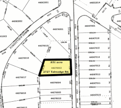
A property legally described by a metes and bounds description may still be assigned a Tax Identification Number based on a separate Lot and Block system.
In this case, a survey of all parcels in the county or municipality would be combined to create a separate Block and Lot system to identify the properties for taxation purposes.