Point Isabel (promontory)
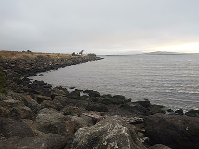
Rising sea levels following the last Ice Age formed San Francisco Bay and left the point as a rocky promontory joined to the mainland by a salt marsh that flooded at high tides.
[2] In the 19th Century, Point Isabel was part of the Rancho San Pablo owned by Don Victór Castro whose father received it in a land grant from the Mexican Republic.
[4] In later years, the land was acquired by the Du Pont subsidiary Vigoret Powder Works of San Francisco, which used it primarily to store explosives.
A dump for industrial waste filled tidelands north of the original point, separated from it by a tidal channel draining Hoffmann Marsh.
[citation needed] Industrial uses from pesticide manufacturing to waste oil recycling, as well as a pistol range, left the land north and east of Point Isabel among the most polluted brownfield sites along San Francisco Bay, although some of these have been remediated.
A portion of Point Isabel, locally known as TEPCO beach, is covered in thousands of pieces of broken ceramic dishware.
Point Isabel served as a dumping ground for lead-filled battery casings, thus creating toxic emissions from within the soil.