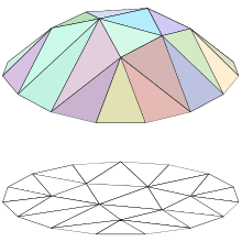
Polyhedral terrain
[1] Without loss of generality, we may assume that the line in question is the z-axis of the Cartesian coordinate system.
Then a polyhedral terrain is the image of a piecewise-linear function in x and y variables.
[2] The polyhedral terrain is a generalization of the two-dimensional geometric object, the monotone polygonal chain.
As the name may suggest, a major application area of polyhedral terrains include geographic information systems to model real-world terrains.
[2] There are a number of problems in computational geometry which involve polyhedral terrains.