Roosevelt National Forest
The forest is administered jointly with the Arapaho National Forest and the Pawnee National Grassland from offices in Fort Collins, and is denoted by the United States Forest Service as ARP (Arapaho, Roosevelt, Pawnee).
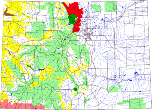
The forest encompasses a mountainous area of the foothills on the eastern side of the Continental Divide of the Front Range in Larimer County and Boulder County.
In Larimer County it includes the upper valleys of the Cache la Poudre and Big Thompson Rivers.
Smaller parts of the forest also extend into northern Gilpin and extreme northwestern Jefferson counties.
[1] The forest has a total area of 813,799 acres (1,271.56 sq mi, or 3,293.33 km2).