Territory of the Saar Basin
The Territory of the Saar Basin (German: Saarbeckengebiet, Saarterritorium;[1] French: Territoire du bassin de la Sarre) was a region occupied and governed by the United Kingdom and France from 1920 to 1935 under a League of Nations mandate.
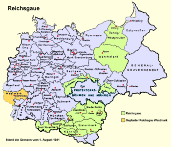
The Territory comprised the portions of the Prussian Rhenish Trier Region and the Bavarian district of the Palatinate, whose populations included a significant number of the miners who worked in the Saar coal mines.
[6][8] So on 24 March 1922, after four years without any official representation of the people, the Reko decreed the formation of a Saar Territory assembly called the Regional Council (German: Landesrat).
[10] When the Governing Commission did not set an issue on the Regional Council's agenda, they could only send delegations to the League of Nations with pleas, and so they did.
[10] With this situation, all the representatives elected to the Regional Council, regardless of the party, opposed the system of autocratic rule in the Saar Territory.
In 1933, a considerable number of political opponents of National Socialism moved to the Saar, as it was the only part of Germany that remained under foreign occupation following World War I.
As a result, anti-Nazi groups agitated for the Saarland to remain under British and French occupation under a League of Nations mandate.
With Adolf Hitler anxious for the propaganda advantages of the return of the Saar to Germany, Joseph Goebbels designed a concerted campaign to sway voters.
[11] With a voter participation of 98%, the result of the plebiscite was that the overwhelming majority, 90.8%, voted to re-join the German Reich, with only 8.8% wanting to retain the status quo, primarily as they did not wish to be ruled by Nazis.
On 28 September 1944, Reich Commissioner Josef Bürckel died, and was succeeded by Willi Stöhr until 21 March 1945, when the region was conquered by troops of the United States Army, which handed over the occupation to French forces in July the same year.