Shokalsky Island
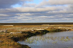
It is located on the eastern side of the mouth of the Ob River, off the tip of the narrow northwestern arm of the Gyda Peninsula.
It is separated from it by a narrow strait full of islets known as Gydanskiy Proliv.
The sea surrounding the island is covered with pack ice in the winter and there are numerous ice floes even in the summer, so that it is often merged with the Gydanskiy Peninsula in the Siberian mainland.
This island belongs to the Yamalo-Nenets Autonomous Okrug which is the northern part of the Tyumen Oblast administrative division of the Russian Federation.
This island was named after Imperial Russian cartographer Yuly Shokalsky.