Sigmaringen (district)
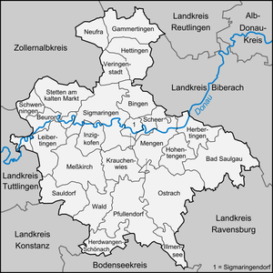
Neighboring districts are (from north clockwise) Reutlingen, Biberach, Ravensburg, Bodensee, Constance, Tuttlingen, and Zollernalbkreis.
By 1806 it had become a border area between the Grand Duchy of Baden, the Kingdom of Württemberg, and the much smaller principality of Hohenzollern-Sigmaringen embedded between them.
Landkreis Sigmaringen is located in the Swabian Alb mountains, which represent an old glacially-shaped landscape formed by prehistoric moraines.
In the south of the district, a line running from Bad Saulgau to Ostrach to Pfullendorf roughly marks the southernmost extent of this prehistoric moraine.
The red color with the white bar below the deer derives from the Austrian coat of arms, as part of the district belonged to Austria historically.