Singhbhum district
Singhbhum was a district of India during the British Raj, part of the Chota Nagpur Division of the Bengal Presidency.
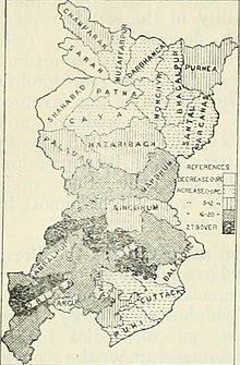
[4] It is bounded by Ranchi District in the north, with the Saraikela and Kharsawan princely states in the east, with Mayurbhanj and Keonjhar in the south as well as with Bonai and Gangpur in the southwest.
The state was under the political control of the Commissioner of the Bengal Presidency until 1912,[2] under the Bihar and Orissa Province until 1936 and then under Chhota Nagpur Division until the end of the British Raj.
[citation needed] According to the 1931 census, the total population of Singhbhum (including Dhalbhum) was 929,802 in 3,879 square miles (10,050 km2) area.
The predominant communities in the region were the Ho, comprising 32.39% of the population, followed by the Santal at 11.71%, Bhumij at 5.71%, Munda at 5.48%, Gaura at 5.04%, Tanti at 4.09%, Goala at 3.79%, Hajjam at 2.68%, Kurmi at 2.42%, Bhuiyan at 1.97%, Kamar at 1.87%, Brahman at 1.71%, Kumhar at 1.49%, Rajput at 1.4%, Teli at 1.31%, Oraon at 1.09%, Kayastha at 1.04%, and others such as Karan, Bania, Khandayat, Kewat, Gadaba, Dhobi, Kharia, Dom, Mahli, Chamar, Hari, Kahar, Jolaha, Mallah, Karmali, Bathudi, Savar, Korwa, Mochi, and Birhor.