Beaudesert Shire
The Shire of Beaudesert was a local government area located in South East Queensland, Australia, stretching from the New South Wales border, along the Gold Coast hinterland to the urban fringes of the cities of Brisbane and Ipswich.
The Shire covered an area of 2,854.3 square kilometres (1,102.1 sq mi), and existed from 1879 until its abolition on 15 March 2008, following which it was split between Logan City and the new Scenic Rim Region.
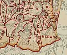
The Tabragalba Division was incorporated on 11 November 1879 under the Divisional Boards Act 1879 with a population of 869, centred on Beaudesert.
[5] On 9 December 1948, as part of a major reorganisation of local government in South East Queensland, an Order in Council replacing ten former local government areas between the City of Brisbane and the New South Wales border with only four.
[6][7] The former ten were: The four resulting local government areas were: The Order came into effect on 10 June 1949, when the first elections were held.