Tai Mo Shan
Since it is the tallest mountain in Hong Kong, it forms a barrier that blocks the monsoon from the south, the rain shadow leading to the dryness of some of the northern and northwestern parts of the New Territories.
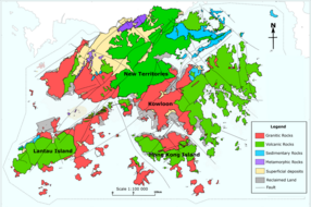
[5] The whole Tai Mo Shan mountain range, known as Kwun Fu Mountain (官富山, named after the salt field Kwun Fu Cheung [yue] (官富場) in present-day Kowloon Bay) in Ming and Qing dynasties, covers over 350 square kilometres (140 sq mi), and stretches from Tai Lam Chung Reservoir in the West near Tuen Mun and Ma On Shan in the east and the mountains of Kowloon and Clear Water Bay in the south.
A small hill known as "Kwun Yam Shan" near the mountain still vents warm air through cracks in the rocks that lead all the way to the mantle.
When the surface temperature is cold, and the warmth of the expelled air is clearly discernible, this phenomenon is referred to by locals as "dragon's breath".
Due to the height of the mountain, Tai Mo Shan is claimed to be Hong Kong's most misty area, as it is often covered in clouds.
The south-east slopes of Tai Mo Shan are covered with patches of well developed montane forest.
In 1986, a 34-hour blaze destroyed 282,500 trees at Shing Mun and Tai Mo Shan and ravaged 7.40 km² of countryside.
The summit of Tai Mo Shan is not accessible to visitors, as it is occupied by a Hong Kong Observatory (ex-RAF) weather radar station.