Timeline of the 2016 Pacific hurricane season
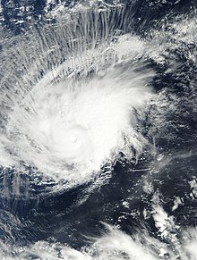
The 2016 Pacific hurricane season was an event in the annual cycle of tropical cyclone formation, in which tropical cyclones form in the eastern Pacific Ocean.
The season officially started on May 15 in the eastern Pacific–east of 140°W–and on June 1 in the central Pacific–between the International Date Line and 140°W–and ended on November 30.
These dates typically cover the period of each year when most tropical cyclones form in the eastern Pacific basin.
[nb 1] Additionally, Tropical Storm Otto entered the basin after crossing over from the Atlantic, thus further contributing to the season total.
This timeline documents tropical cyclone formations, strengthening, weakening, landfalls, extratropical transitions, and dissipations during the season.